

OS Digital Riding routes exclusively
for MBBA members
We have digitally recorded every bridleway and permissive track in the MBBA area.
Exclusive access for all MBBA members to digital routes in our area
Click below...
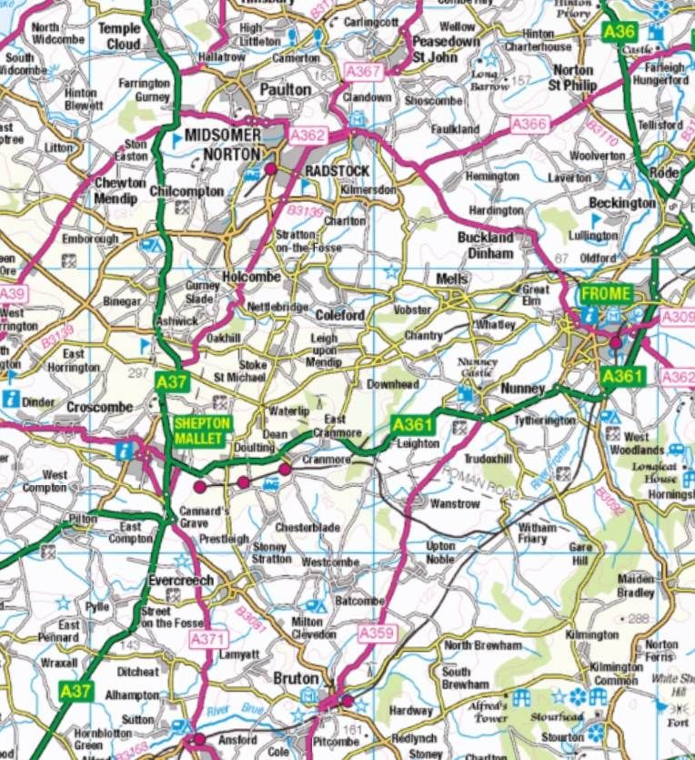
Key to route colours...
Green routes - these are Definitive Bridleways (BE), Byways and Restricted Byways (RB) All these, which are also within the Mendip District Council area, should be
open all year round and adequately signposted and waymarked.
Green routes are also: UCRs (Unclassified County Roads) – are assumed to be public, depicted in white
on the OS Map and therefore highlighted in green.
Blue routes are in the process of being dedicated, or modified to BR status and may be ridden.
Yellow routes are generally bridleways, droves or public roads not recorded on the Definitive Map – some are still in use, some obstructed – check the schedule for details.
Orange routes are licenced or permissive routes (PBR) – check the schedule for details. These are obtained by formal agreement with the landowner.
Red dot routes are multi user routes, also accessed by cyclists and walkers. They are not recorded on the schedule, but are clearly marked on the map. Not all sections of the route are open to horse riders; such sections will have an advisory notice.
